
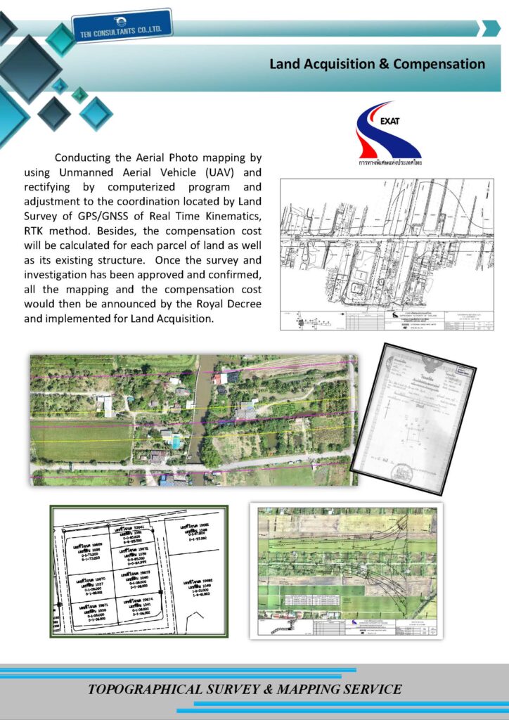
Conducting the Aerial Photo mapping by using Unmanned Aerial Vehicle (UAV) and rectifying by computerized program and adjustment to the coordination located by Land Survey of GPS/GNSS of Real Time Kinematics, RTK method. Besides, the compensation cost will be calculated for each parcel of land as well as its existing structure. Once the survey and investigation has been approved and confirmed, all the mapping and the compensation cost would then be announced by the Royal Decree and implemented for Land Acquisition.
Topographical Survey & Mapping Service